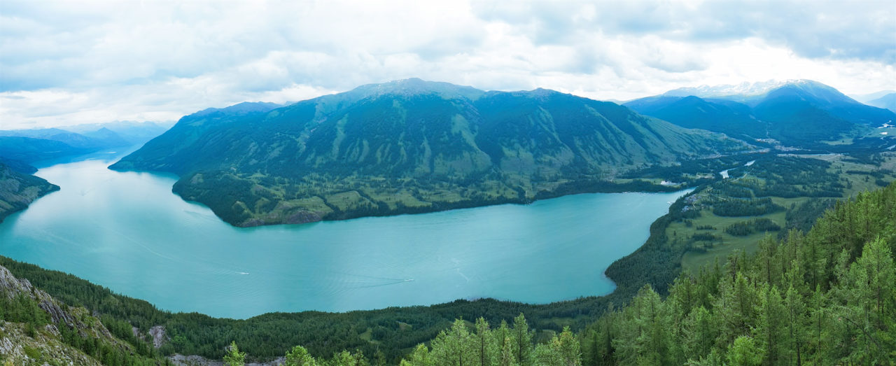
Altay
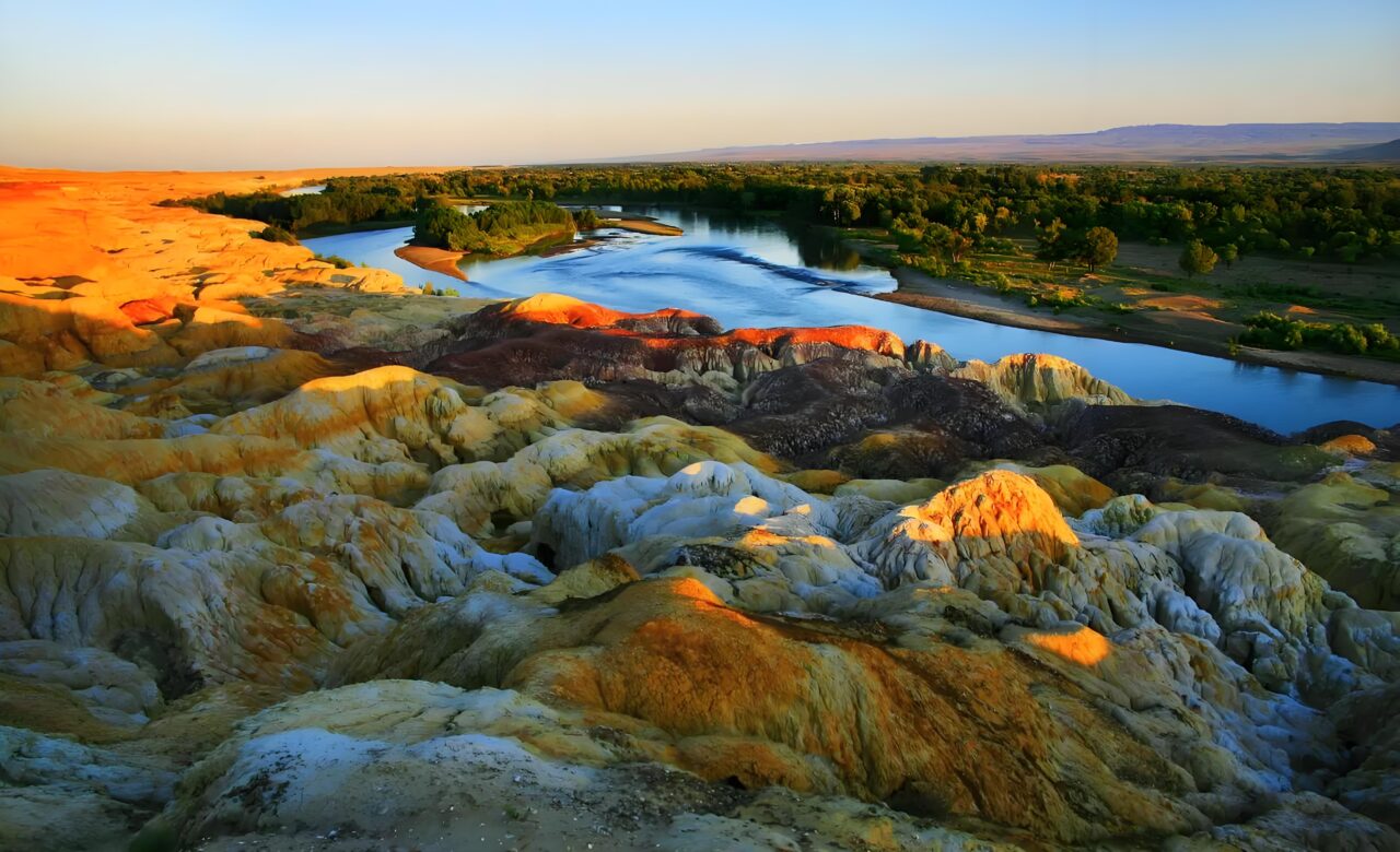
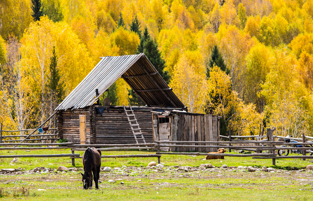
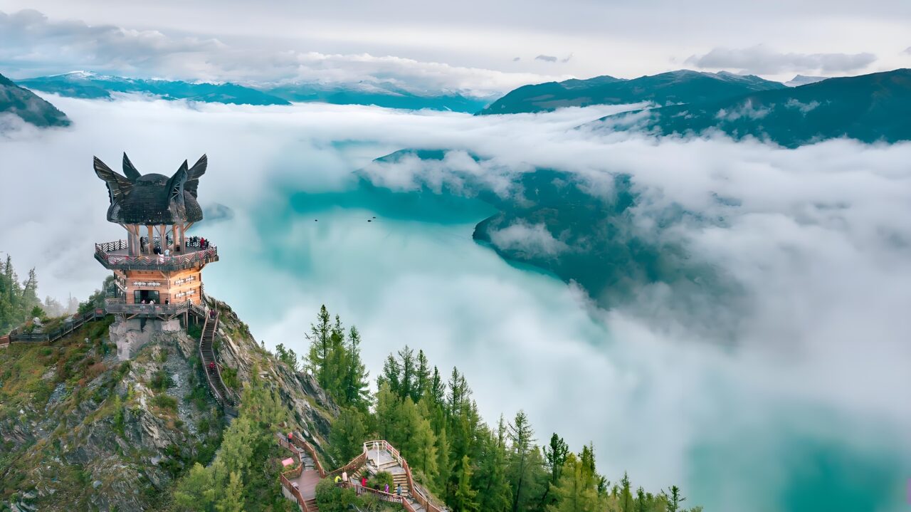
Altay prefecture located in the area between the southern foot of Altay mountains and most northern part of Xinjiang Uyghur Autonomous Region. It is the place where the ancient grassland Silk Road went by. It is a relatively abundant water area in Xinjiang, known as the “water tower” in the north of Xinjiang, and also one of the six major forest areas in China. Altay borders with three countries, Mongolia in the northeast, Russia in the north and Kazakhstan in the northwest. The landform type is complex and diverse, dry and hot in summer and cold in winter, with a total area of 117989.21 square kilometers and a total population of 671616 in 2017. There are several rivers, such as, Irtish river, Burqin River, and Bulunku river flow through in Altay, the Irtish river is the only river in China which joins to the Arctic ocean. It is land full of luxuriant pastures and forests with plentiful precipitations, good for farming and herding. It is cool in Summer and very cold in winter. Altay means “gold”in Turkic and Mongolian language. It is well known for rich gold mine reserves in Altay mountains and fishery in the Urunkul Lake and Irtish river.

