Ili(Ghulja)
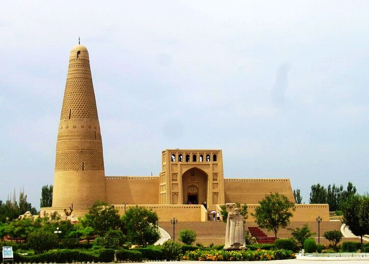
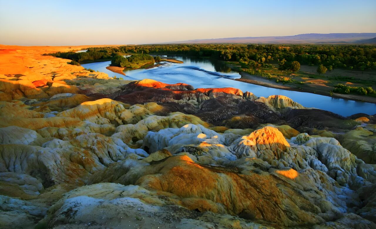
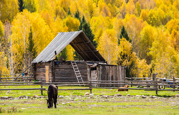
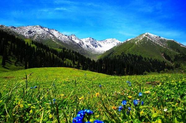
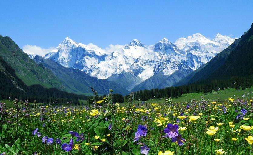
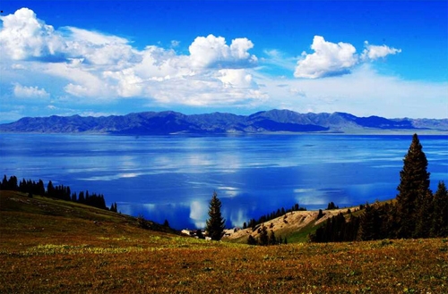
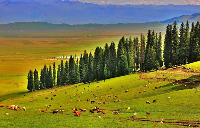
Ili Prefecture, located in the west of Xinjiang Uygur Autonomous Region, is the intersection of two ancient Silk Road grassland roads and the northern Road, with a total area of 268593 square kilometers. In 2017, the total population was 4.6171 million. The western part of the county borders on Kazakhstan. ILI, also known as gurga by the local people, is an important bridge connecting China and Central Asia. The Ili River passes through the territory, and the valley and forest of Tianshan Mountains are fertile, rich in water resources and very beautiful. It is conducive to tourism and economic exchanges. It belongs to the temperate continental climate, which is cool in the north and hot in the south. The temperature difference between the north and the south is large. The mild temperature brings abundant products to the area. Nalati grassland, one of the four grasslands in the world, is a subalpine meadow plant area and the hometown of Xinjiang fine wool sheep. Ili’s winter is colorful. Looking at it, the mountains, grasslands and pastures are covered in silver. The blue sky, white clouds, dark green forests, winding streams and golden grasses outline a beautiful landscape oil painting, like a fairy tale world.

