Qinghai-Tibet Plateau
- Description
- Gallery
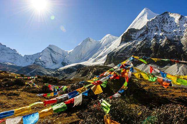
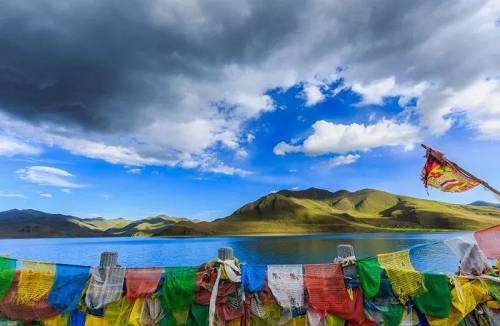
The Qinghai Tibet Plateau, the inland plateau of Asia, is the largest plateau in China and the highest altitude in the world. It is called the "roof of the world". It starts from the southern margin of the Himalayas in the south, ends at the northern margin of the Kunlun Mountains, the Altun Mountains and the Qilian Mountains in the north, the Pamirs and the Karakoram mountains in the west, and connects with the western section of the Qinling Mountains and the Loess Plateau in the East and the north. In topography, it can be divided into six parts: Northern Tibet Plateau, southern Tibet Valley, Qaidam Basin, Qilian Mountain, Qinghai Plateau and Sichuan Tibet mountain canyon area. Influenced by many factors, the Qinghai Tibet Plateau has formed the highest and youngest natural geographical unit in the world, which is closely combined with horizontal and vertical zonality.. Generally, the altitude is between 3000-5000 meters, which is the birthplace of many large rivers in East Asia, Southeast Asia and South Asia; there are many lakes on the plateau, including namcuo, Qinghai Lake, etc. The Qinghai Tibet Plateau is rich in light and geothermal resources, with permafrost widely distributed on the plateau, and most of the vegetation is natural grassland. The Qinghai Tibet Plateau is also one of the sources of the Chinese nation and the birthplace of Chinese civilization. The residents on the plateau are mainly Tibetan, forming a plateau culture system with Tibetan culture as the main part.

